
.

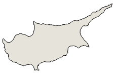
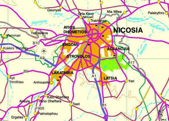
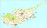
Psimolophou or Psimolofou (Greek : Ψημολόφου ) is a community in the Nicosia District of Cyprus.
Psimolofou is a village located about 16 km from Nicosia District Capital of Cyprus, en-route to the historic Machairas Monastery.
Psimolofou rests at a height of 340 meters from see level and it is surrounded by a number of perfectly flat hills and it is only 500 meters away from Padiaos river.
Psimolofou was established as a small village since the 12th Century AD. The Old village in the center has narrow streets and very old houses made of soil and hay blocks called plynths (Greek: Πλύνθοι)
Psimolofou (Greek: Ψιμολόφου) derived its name from a small hill nearby which resembles a bread (Greek: ψωμί). However, most probably the name has been derived from the nearby hill - tall hill (Greek: ψηλός λόφος).
Psimolofou Aerial View
Psimolofou has approximately 2000 residents and it has been growing steadily since 19th century where records were kept. Up until 1970s, most of the inhabitants were involved with agriculture - growing fruits and vegetables. Today, very few inhabitants are still farmers. Most of the residents now hold jobs or have businesses in Nicosia.
Psimolofou is a fast expanding residential area very near to the city but with cooler climate especially in the summer with only detached and some semi detached houses. Psimolofou has public elementary and primary schools.
The church of Psimolofou is dedicated to Panayia Katholoki and was built in the 19th century over the ruins of an older church that was destroyed by fire. It is beautifully decorated with wall paintings. Two of them from the earlier building and the rest in the very recent years.There are two other churches, a ruined one from the mediaeval ages and modern one built in the late 20th century.
There is a COOP bank with ATM, a well sized supermarket, a hardware store, 3 traditional Cyprus coffee shops and a 24-hour 365 days convenience store. There is also a bar/restaurant with public swimming pool for the summer.
Near Psimolofou at 35.0530941°N 33.2961997°E, there is a mediumwave broadcasting station transmitting on 963 kHz the1st programme and on 603 kHz the third programme with 100 Kilowatt. It uses a 193 metres tall guyed mast radiator - the tallest structure in Cyprus.
References
^ http://www.mof.gov.cy/
| Year | Population |
| 1946 | 520 |
| 1960 | 537 |
| 1982 | 846 |
| 1992 | 1120 |
| 2001 | 1358 |
Community Council President: Giannos Lazaridis
Images Cyprus, Nicosia District
| Ancient Greece
Science, Technology , Medicine , Warfare, , Biographies , Life , Cities/Places/Maps , Arts , Literature , Philosophy ,Olympics, Mythology , History , Images Medieval Greece / Byzantine Empire Science, Technology, Arts, , Warfare , Literature, Biographies, Icons, History Modern Greece Cities, Islands, Regions, Fauna/Flora ,Biographies , History , Warfare, Science/Technology, Literature, Music , Arts , Film/Actors , Sport , Fashion --- |
Retrieved from "http://en.wikipedia.org/"
All text is available under the terms of the GNU Free Documentation License
