
.

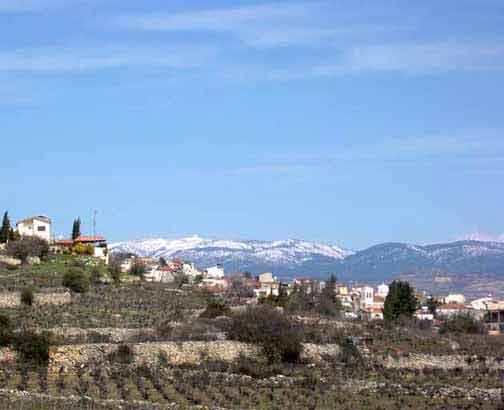
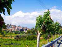
Pachna with Mount Olympus in the background ( Source)
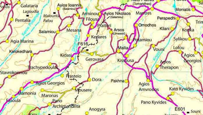
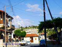
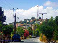
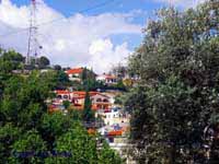
Pachna or Pahna or Pakhna,( Greek: Πάχνα) is a village in the Limassol District of the Republic of Cyprus. It is situated on the south slopes of the Troodos mountain range at an altitude of 745m (2447ft).
The name Pachna is thought to originate from the ancient Greek word “πάχνη” (pachni) which relates to the morning white frost found on leaves following a chilly night. Another explanation could come from the alternative meaning of “πάχνη”, a manger, in reference to its protected location amidst the surrounding high hills. During the Frankish and Venetian occupations of Cyprus the village appeared on maps under the name of Padena.
Chalky soil, its elevation and climate, have made Pachna an ideal location for viticulture. By 1985 statistics 830 hectares of land were registered with the agriculture department as cultivated with wine or table vines, making it the largest grape producing village on the island. Evidence that vines have been cultivated here since ancient times came from pottery found in excavations nearby (at Ayia Marina settlement). The vast majority of the cultivated grapes are the local varieties of mavro and xynisteri. Less common is the cultivation of olives, carobs, apples, pears and lentils.
Census statistics show that from 1881 to 1960 (during the British occupation of the island) the population increased steadily from 595 to 1564. Currently the population stands at 967 (October 2001 census).
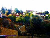
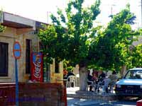
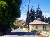
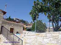

The village has two main churches, St George (Ayios Yeorgios) and St Paul (Apostolos Pavlos). The first primary school was established in 1855 and moved to its current location in 1938. Most of these older buildings (and many houses) are built in the local Pachna stone which has its own unique chalky yellow character.

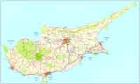
Coordinates 34°46′ N 32°47′ E
District Limassol District
Population 967 (2001)
Elevation 745 m
Postal code 4700
Mayor Panayiotis Panayiotou
| Year | Population |
| 1946 | 1506 |
| 1960 | 1564 |
| 1982 | 1342 |
| 1992 | 1174 |
| 2001 | 967 |
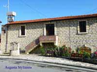
Evdokas family home (Ευδόκας,Οικογενειακή Εστία)
Images Cyprus, Limassol District
| Ancient Greece
Science, Technology , Medicine , Warfare, , Biographies , Life , Cities/Places/Maps , Arts , Literature , Philosophy ,Olympics, Mythology , History , Images Medieval Greece / Byzantine Empire Science, Technology, Arts, , Warfare , Literature, Biographies, Icons, History Modern Greece Cities, Islands, Regions, Fauna/Flora ,Biographies , History , Warfare, Science/Technology, Literature, Music , Arts , Film/Actors , Sport , Fashion --- |
Retrieved from "http://en.wikipedia.org/"
All text is available under the terms of the GNU Free Documentation License
